Contractor GIS Services
Specialzing in digital geologic maps and databases
Following GeMS and FDGC cartographic standards
Services offered
• Geologic map digitization• GeMS geodatabase development
• Cartographic layout
James offers part time, remote contracted GIS services to state geological surveys in need of assistance. He is proficient in field geology and the application of ArcGIS, possesses advance skills in cartography and editing, and is an expert in GeMS and FDGC standards.
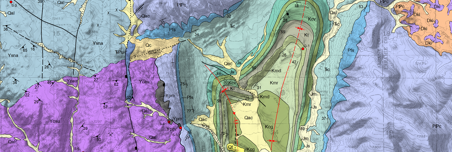
James served as the Map Editor and Geospatial Technical Principal for the Wyoming State Geological Survey for 3 years (2020-2023) where he created and reviewed digital geologic maps and geodatabases for public release, and submission to the U.S. Geological Survey—National Geologic Map Database. As James is an independent contractor, his rates are highly competitive. The cost and time to complete a mapping project varies, please email me@jamesamato.com to discuss projects, pricing, and availability.